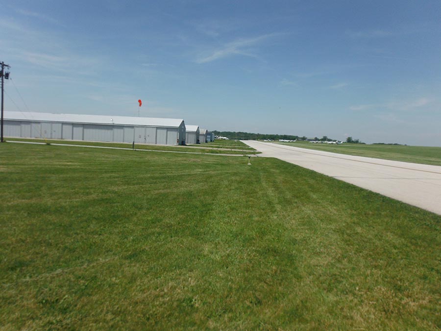
DAYTON-WRIGHT BROTHERS AIRPORT, WARREN & MONTGOMERY COUNTIES, OHIO
The Dayton-Wright Brothers Airport is in the process of developing a site master plan for the airport campus. As part of development process, L&A served as a subconsultant to the engineering/ architecture firm responsible for designing future development plans and improvements at the site. The scope of L&A’s services included a desktop review of mapping resources and a literature review to determine if any previously recorded ecological resources were present. Following the review, a site walkover was performed to identify streams, wetlands, and other potential Waters of the United States. Additionally, while on site, L&A completed a Phase I Bat Habitat Assessment to identify potential roost habitat for the federally endangered Indiana Bat. The boundary of all wetlands and location of each potential roost tree were mapped in the field using handheld GPS units capable of sub-meter accuracy. This information was provided to the client in a letter report as well as GIS files so that any potential impacts to these resources could be accurately incorporated into future development and expansion plans.

